
Redford ZIP Code Coverage
Two postal zones are associated with Redford Township, while a third nearby zone is closely tied to Detroit and Old Redford. The postal description is useful for finding an address, but it is not a municipal boundary. Redford sits immediately west of Detroit, and the shared history makes a physical parcel check important before choosing a township office, court, or property record. The table keeps the known delivery geography separate from a jurisdiction decision.
| ZIP | Areas Covered | Post Office | Notes |
|---|---|---|---|
| 48239 | Core Redford Township mailing area | USPS Redford, 12245 Beech Daly Rd | Confirm the parcel's physical jurisdiction. |
| 48240 | Redford Township, especially north and east portions | USPS and official maps identify Redford | Use USPS for the exact carrier boundary. |
| 48219 | Nearby Detroit and Old Redford geography | Detroit / nearby designation on official maps | Not a blanket Redford Township ZIP. |
The Wayne County ZIP boundary map follows 2010 Census data and says its boundaries are approximate. The Michigan Manual identifies 48239 and 48240 with Redford, but an address still needs a postal and parcel-level check.
Redford's locality labels have changed long before modern delivery zones. County history traces the 1827 organization of Springwells and Bucklin, the 1829 division along present Inkster Road, and Pekin's 1833 renaming to Redford. Detroit later annexed eastern township sections, with the county profile placing the end of annexation in 1926. The Wayne County Redford profile helps explain why an old locality name and a present postal label may not align.
Check a Redford Postal Delivery Area
For one street address, use the official USPS address lookup rather than relying on a broad map. The postal tool verifies the delivery code assigned to the address. It does not answer whether the address sits inside Redford Township, Detroit, or another jurisdiction. That second question belongs to the parcel and physical-location records.
The Redford station is listed at 12245 Beech Daly Road, Redford, MI 48239-9998, with phone 313-937-1242. Published service hours can change, so use the USPS Redford station listing for current service information. A carrier boundary should not be inferred from the station address or a place name.
Finding Redford Records by ZIP
Redford's parcel systems support a careful ZIP-first workflow, with clear limits. The Wayne County parcel layer has a propzip attribute and accepts attribute queries, so it can return parcel results by ZIP. The local BS&A advanced address route shows street address, street-number range, and parcel fields, but a ZIP filter was not confirmed. Michigan.gov/Vote is name-first and does not provide a public ZIP-wide browse.
- Verify the full address with USPS, including the delivery ZIP. Keep the postal answer with the street spelling.
- Query the Wayne County parcel layer by
propzip, then read the returned street, property-city, and parcel fields. - Open the matching parcel in the Redford BS&A property search by address or parcel number. Compare the situs and mailing labels rather than treating either as a household list.
- Use the parcel's physical location before routing a court or township request. A nearby postal label can cross the line that determines the correct office.
- For a known person, use the Michigan voter tool only as its public, name-first search allows. Do not turn it into a ZIP-wide list.
Once a parcel result narrows the street, the Redford street directory has the address-by-address record chain. ZIP filtering is a way to group parcels, not a substitute for reading the individual record.
The Redford BS&A property and tax search shows the separate record families that can be reached by address or parcel number.
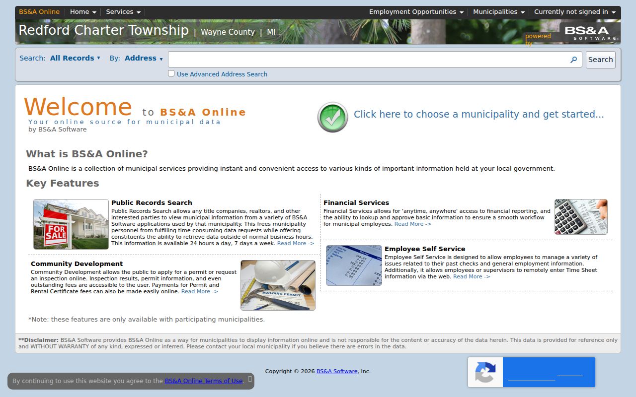
Its result is most useful when the exact street and parcel are already known, because the research did not verify a public ZIP filter in the interface.
Redford Parcel Fields in GIS
The Wayne County ParcelViewer service is the local ZIP-capable source. It exposes geometry as well as property attributes, with a maximum 1,000 records per response. That means a ZIP query can provide a manageable parcel set, while a street or parcel check is still needed to identify the right record. The service is read-only spatial context, not a complete list of people.
| Parcel-layer field | What it identifies | How it helps a ZIP search |
|---|---|---|
propzip | Property ZIP | Attribute used to group matching parcels. |
propstreet | Street name | Checks the address within the ZIP result. |
fullAdd2 | Full address value | Helps compare a returned parcel with the postal address. |
propcity | Property-city value | Flags a postal and locality mismatch for review. |
packedParc | Parcel identifier | Connects the map result to assessor and deed research. |
The Wayne County parcel-address layer documents those field names and the query service.
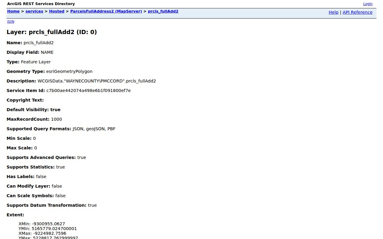
Use the returned parcel identifier to compare sources, not to infer that every name associated with a parcel is a current occupant.
Redford ZIP Code Boundaries and Jurisdiction
ZIP codes are delivery geography, not city or township lines. The risk is clearest around 48219, the nearby Detroit and Old Redford area. Redford Township and Detroit share adjacent naming history, so routing a 48219 address automatically to the Redford assessor or 17th District Court can put the search in the wrong jurisdiction. The court specifically warns that shared ZIPs require a physical-location check.
Start with USPS to confirm delivery, then inspect the parcel's geometry and property-city fields. The 17th District Court's Redford information is the local court reference, but court coverage follows physical jurisdiction rather than a mailing label.
Postal terms make the distinction clearer:
- ZIP and ZIP+4
- A ZIP code is the main postal delivery zone. ZIP+4 adds four digits for a more specific delivery segment within that system.
- PO-box ZIP
- A code used for post-office boxes. No Redford-specific PO-box-only ZIP was verified in the reviewed official maps.
- Unique ZIP
- A code assigned to a single institution or organization. No Redford-specific unique ZIP was located in the research.
- Carrier route
- A postal delivery grouping. It is not a township boundary and was not verified as a public Redford record-search filter.
Redford Situs, Mailing, and ZIP Fields
Three labels can describe one parcel and each answers a different question. The situs address is where the parcel is physically located. The mailing address is where tax correspondence goes. The postal ZIP sorts mail. A deed's legal description and the parcel identifier connect those labels over time, even when a street address changes or an older document has no familiar street address.
BS&A can show owner or taxpayer information, a situs address, a mailing address, values, exemptions, and parcel details. A different mailing address is not proof of who occupies a property. Preserve both labels exactly, then use the recorded deed and parcel geometry for corroboration.
Redford Before Postal Zones
Older Redford directories cannot be searched as though they were ZIP records. The 1925 Polk directory, early newspapers, historical maps, and later Bresser criss-cross volumes were built around names, streets, house numbers, and localities. For an older property, search the street and the locality variants Redford, Old Redford, Brightmoor, Detroit, and Rouge, then compare the result with a dated map.
The Historical Commission's maps run from 1816 to about 1980 and include a 1921 Old Redford Sanborn lead. They can help test whether a street reference belongs to the modern township or to an earlier Detroit-adjacent geography. For current parcel work, start with the ZIP code directory, then shift to street and map records for historical work.
Redford ZIP Context and Precincts
A ZIP result can be paired with local context, but not converted into a precinct or school record. Redford's official street guide names roads such as Beech Daly, Inkster, Six Mile, Puritan, Orangelawn, and Cathedral and lists polling-place addresses. Those places are physical anchors for a date or neighborhood, not evidence that a named person was attached to a ZIP.
Redford's Stats and Facts material notes that Clarenceville School District serves several northwest blocks and that no schools sit within township boundaries. A nearby school or precinct name can therefore describe a community connection without locating a parcel. Use the exact street, parcel, and date instead of relying on a familiar Redford label.
Limits of Redford ZIP Data
No official ZIP-level Redford population, registration count, postal classification, unique ZIP, or historical ZIP realignment was located. The public Michigan voter lookup is also name-first, with first name, last name, birth month, and birth year, rather than a ZIP-wide browse. It can confirm limited voter information when its fields are met, but it is not a complete household or ZIP directory.
County maps are useful context and USPS verifies delivery, yet neither replaces a parcel review. Michigan protects full birth-date, driver-license, state-ID, phone, and other protected voter information, and substitute addresses under the Address Confidentiality Program are not ordinary public address data.
When a parcel query returns no clear match, save the postal result, street spelling, property-city value, and parcel identifier before trying another record. The next check may be a deed legal description or a dated map, not another broad postal search. A request for election material should go through the Michigan Department of State or local Clerk under the applicable public-record rules and ask for permissible fields, format, fees, and protected-field treatment. No official bulk-file request form or fee schedule was identified in the research.
For historical research, do not expect an early directory or map to carry a ZIP code at all. Keep the street name, house number, locality label, and map date, then connect that older evidence to the modern parcel only after checking the legal description and township jurisdiction.