
Walk a Redford Street Address
Ownership, parcel geography, and occupancy evidence are separate parts of a Redford street-by-street address search. The township assessor supplies the current tax-roll lead. Wayne County GIS places that parcel among the lots on the street. A recorded deed confirms a transaction, while Michigan's voter lookup can only check an individual who is already identified. Historical street sections may add a past head of household. None of those sources is a complete roll of everyone at every address.
- Enter the street number and name in Redford BS&A. Preserve the owner or taxpayer name, situs address, mailing address, parcel number, tax year, and transfer indicator as separate fields.
- Open the Wayne County ParcelViewer, find the same parcel, and compare its polygon, full address, ZIP, and parcel identifier with nearby lots.
- Use the owner as a grantee search in Wayne County Land Records. Match a returned deed by legal description, recording date, and document details rather than surname alone.
- If a specific person needs checking, use the state voter tool with that person's name, birth month, and birth year. It is an individual lookup, not a way to download a whole Redford street.
- For an earlier household clue, compare the address in a Polk street section or Bresser criss-cross volume, then test the result against newspapers, census, and the deed date.
Keep a small address table as you work: street number, parcel, situs, mailing label, owner name, legal description, source date, and what the source actually proves. That prevents one mailed tax address or one similar surname from becoming a false street-level match.
Search Redford Street Records in BS&A
The Redford Assessor uses BS&A for property, tax, building, special-assessment, and utility-billing record families. The tabs do not all answer the same question. For a street-by-street task, start in Assessing with the physical address or a number range. Owner-name search is useful when an address is not known. The township distinguishes the physical, or situs, address from a mailing or taxpayer address, and says some supporting documentation may require an office request or FOIA.
| BS&A field or control | Type | When to use it | Redford note |
|---|---|---|---|
| Assessing | Tab | Property and assessment work | Best starting record family for an address. |
| Street Address | Text | Known physical address | Searches the situs address. |
| Street Number | Text or from/to range | One property or a street segment | Use a range to examine matching numbers. |
| Parcel Number | Text | Known tax parcel | Copy the full identifier exactly. |
| Owner Name | Text | Address is unknown | Supported by the assessor property search. |
| Building Department and Tax | Tabs | Different record families | An address hit there is not a household list. |
| Advanced Address Search | Control | Broader address criteria | ZIP filtering was not confirmed in the reviewed capture. |
The assessor's online data is township-derived, updated daily, and not guaranteed complete. An exemption indicator can describe an assessed status; it does not establish who is currently living at the parcel. The assessor office at 15145 Beech Daly Road handles in-person property-record inspection and lists 313-387-2730 for the office. Its published hours are Monday through Friday, 8:30 a.m. to 4:30 p.m.
Redford's BS&A property and tax search shows the entry modes used for address, parcel, and record-family work.
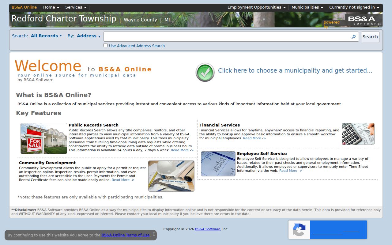
Use the visible tabs as a reminder to record which system produced each address match, rather than combining tax, building, and utility results as if they were one resident record.
Map Parcels Along Redford Streets
Wayne County GIS is the spatial check for parcel research along a Redford street. The public parcel service returns polygon geometry and fields such as ownername1, propstreet, propzip, packedParc, fullAdd2, and propcity. Pan to the street, select the parcel, and carry the address or parcel identifier into BS&A and the deed index. Parcel edges are more dependable than a guessed house-number sequence when a road bends, crosses a boundary, or has an alley nearby.
The service is read-only and limits a response to 1,000 records. It supports queries, pagination, ordering, statistics, and distance operations, but an exact public buffer button was not verified in the rendered viewer. A map polygon establishes mapped parcel adjacency, not a claim that a person occupies a building.
Wayne County's ParcelViewer service is the county source for the parcel attributes and geometry described here.
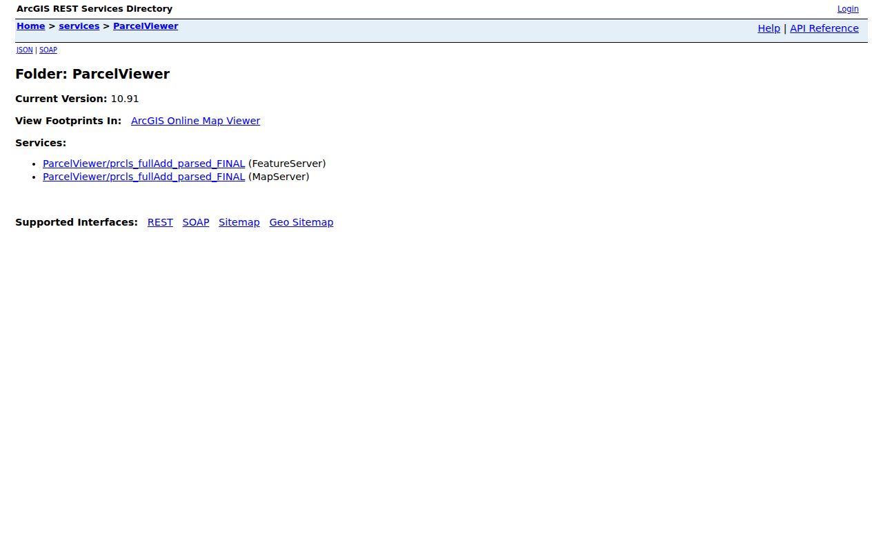
Compare the selected parcel's full address and packed parcel value with the assessor result before moving from the map to an ownership search.
Compare Redford Street Directory Records
Address-keyed sources overlap, but each has a narrow purpose. The assessor connects a current tax record to a parcel. GIS supplies the location and visible parcel pattern. Deeds identify parties to recorded instruments. Local history collections can offer older household context. The table separates the useful link from the access route so a result is not asked to prove more than it can.
| Address record | Link it provides | Redford or Wayne keeper | Access route |
|---|---|---|---|
| Assessment / BS&A | Owner or taxpayer, situs, mailing, parcel, values | Redford Assessor | Portal, assessor office, or nonexempt FOIA request |
| Parcel GIS | Polygon, address, ZIP, owner attribute, parcel | Wayne County GIS | Public map or REST query |
| Recorded deeds | Grantor, grantee, date, document, legal description | Wayne County Register of Deeds | Free name index, paid images, counter, or mail |
| Delinquent tax | Parcel or address tax delinquency | Wayne County Treasurer | Free PTA street or parcel search |
| Voter information | Limited individual voter match | Michigan Secretary of State | Name, birth month, and birth year lookup |
| Historical directory | Earlier address-to-head or subscriber clue | RTDL, Historical Commission, Library of Michigan | Digital collection, library, appointment, or holding search |
| Permit or code file | Address, work, or violation evidence if released | Redford Building & Safety | Paper office route or FOIA, no online case index found |
Wayne County's Property Tax Assistance search can help isolate a street when a delinquency question is relevant. Street number is optional, street name requires at least three letters, and Redford Twp is one municipality choice. A blank number searches the street, and omitting a suffix can widen the search. It is a free delinquent-tax tool, not a current owner or occupancy directory.
Note: Keep parcel identifiers and legal descriptions beside the street address, because both survive changes that can make similar street names misleading.
Trace Redford Street Deed Parties
The Register of Deeds calls its collection a library of land records. For a parcel on a Redford street, search the current owner as grantee, then test the result against the legal description, property address, recording date, document number, and liber or page. Move backward by searching the seller from that instrument as an earlier grantee. The result is a chain of recorded transactions, not a live list of people at the address.
The official county pages do not give one settled online cutoff. The search and copy page says records dating from January 1, 1960 can be searched and printed online, while county home language describes paid online search for records after 1986. Confirm availability with the Register before relying on either boundary. Earlier material requires office research or a search by mail. The published routes include a free grantor/grantee name index, paid sessions at $6 for 15 minutes or $24 for 60 minutes, $2 per page, a $15-per-address mail search, and $10 certification.
Wayne County Land Records is the online destination promoted for grantor and grantee searches.
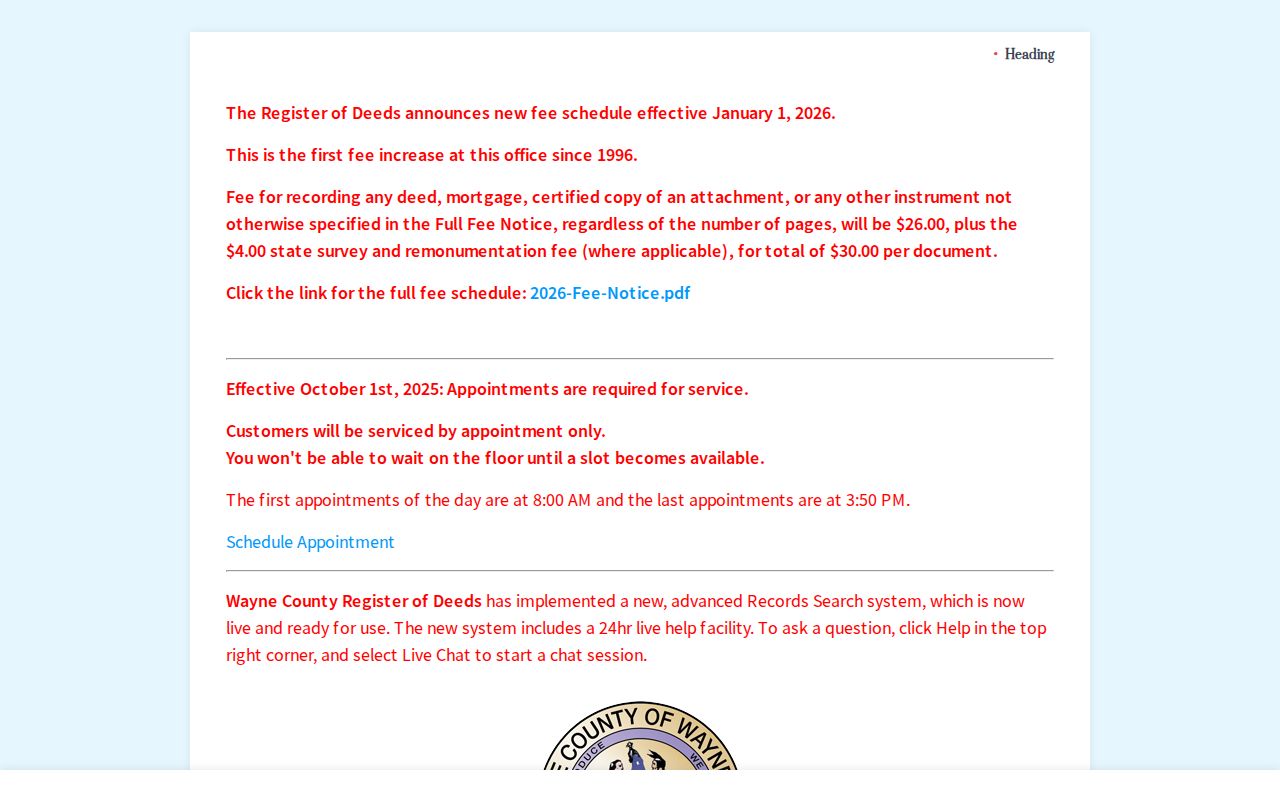
The online destination starts the deed inquiry, while the counter and mail paths remain essential when a needed instrument falls outside confirmed online availability.
Read Redford Street Address Terms
Address research becomes much cleaner when each label keeps its own meaning. The assessor parcel and Wayne GIS packedParc identify the tax parcel. A deed's legal description connects lot, block, subdivision, or plat language to that parcel. Old instruments may omit the current street address, so the legal description is the bridge between an older deed and a newer map.
- Parcel
- A taxed piece of land identified by the assessor and GIS. It is not a person, phone, or utility account number.
- Situs address
- The physical location of the parcel. It can differ from the address where tax mail is sent.
- Plat
- A recorded map that lays out a subdivision's lots, blocks, and streets, helping connect a legal description to land.
- Criss-cross directory
- A reverse directory arranged by street and house number, often offering a historical head-of-household or subscriber clue.
Copy names, initials, street spellings, and legal fields exactly. That detail matters when a deed name is common, an older directory uses initials, or an address lies close to the Detroit boundary.
Find Past Redford Street Households
For a past address, Bresser West Wayne criss-cross directories arrange streets and house numbers and can provide a head of household, telephone, and address-era clues. The documented Bresser runs are 1961-77 and 1979-96. Polk street and surname sections offer a second check, including the verified 1925 local directory title. Wayne County directories for 1972-91 and Redford business or phone books listed for 1949 and 1965-present fill selected intervals, not one continuous local run.
Redford Township District Library's Local History Archives provides digitized newspapers, yearbooks, the 1925 Polk directory lead, and local death records. The Historical Commission also holds maps, property abstracts, house field sheets, and newspapers. The Directory Book has the fuller collection-by-collection detail at the Redford historical directory collection; here, use a street section only as dated address evidence and compare it with a deed or census record.
Note: A historical directory often names one listed person, so it cannot by itself establish every person connected to an address.
Check Redford Street Geography First
Redford's street records need a jurisdiction check before a search begins. The township sits immediately west of Detroit, and nearby Redford, Old Redford, and Detroit labels can overlap in ordinary address use. ZIP codes 48239 and 48240 serve Redford-associated delivery areas, while 48219 is nearby Detroit and Old Redford geography. A mailing label does not settle which assessor, court, or parcel system should hold the record.
Wayne County's profile traces Redford through earlier township divisions and Detroit annexations in the 1920s. That history explains why an older legal description or newspaper reference may use a locality that differs from a modern Redford street label. No verified Redford-specific renumbering or readdressing project was found, so a changed-looking address should be resolved with the parcel, plat, map year, and legal description rather than an invented renumbering date.
Use Redford Street Records Carefully
Redford's paper Building and Zoning Permit Application gathers an address, work description, and applicant or owner information, but no public online historical permit search was located. Request a nonexempt file from Building & Safety with the street address, date range, and permit type, or use the township FOIA form. A Michigan FOIA response normally comes within five business days, with a written extension of up to ten business days; exemptions and allowable review, copying, and mailing fees still apply.
Michigan.gov/Vote is also limited. The public search requires a first name, last name, birth month, and birth year. A result can confirm the limited voter information exposed by the state, but it cannot sweep a street. Full birth dates, driver or state ID information, phone, email, and protected addresses are not ordinary public output. If a permissible records request is needed, ask the Secretary of State or local clerk what fields, format, redactions, and restrictions apply rather than assuming a bulk file exists.
Limits of Redford Street Directory Results
Street-address research can identify parcels, assessed owners, recorded transaction parties, and dated historical listings. It cannot expose a complete roster of occupants. Public searches do not supply utility customers, delivery records, protected voter addresses, confidential address-program locations, DMV addresses, sealed court material, or nonpublic vital records. A tax mailing address may be elsewhere, and a voter or directory result can be stale or incomplete.
When a source conflicts, preserve the conflict instead of forcing a match. The custodian office, the dated original record, and the legal description carry more weight than an address-only result.